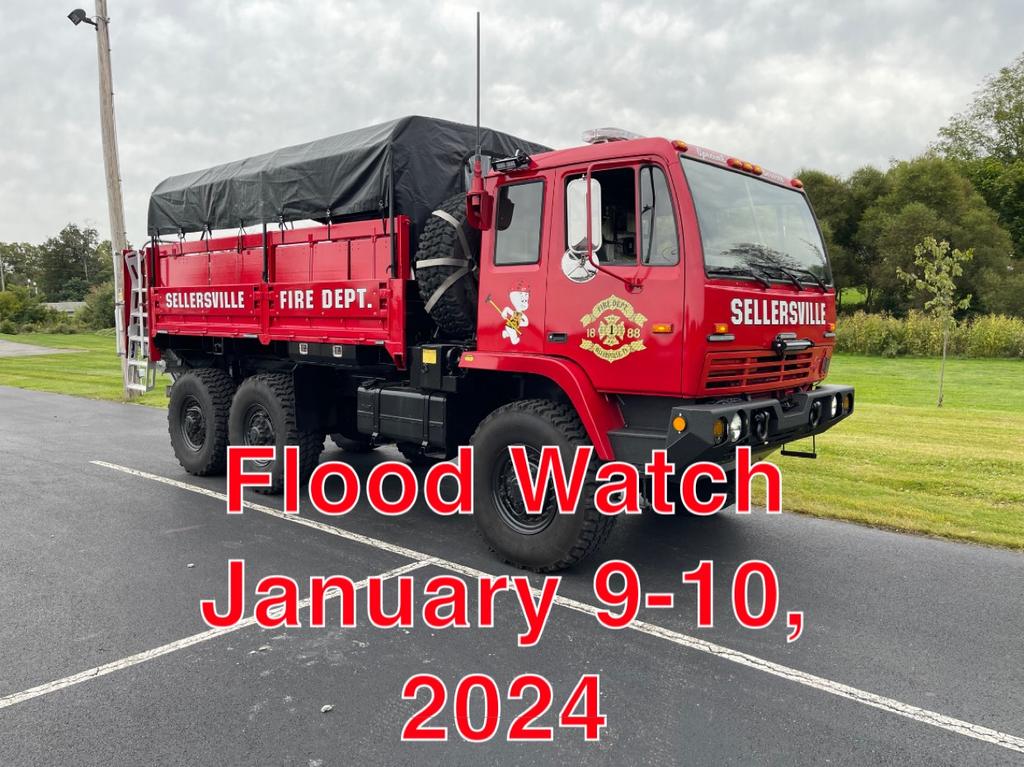
| The National Weather Service has issued a Flood Watch for our area starting on Tuesday, January 9th at 1 PM and lasting through Wednesday, January 10th at 6 PM. We know our area is prone to flooding, especially locations on North Main Street and Park Avenue near the East Branch of the Perkiomen Creek. Please do not attempt to drive through fast moving flood water on the roadway. 6" of water can knock over an adult, and 12" of rushing water is enough to carry away a car. As with any emergency, we are prepared to rescue those in need, but we prefer that proper precautions are taken to avoid creating a dangerous situation. TURN AROUND, DON'T DROWN!
"Rainfall of 2 to 3 inches with locally up to 4 inches possible Tuesday through early Wednesday, with the heaviest rain falling Tuesday night. The ground remains very saturated following multiple rounds of heavy rainfall over the last month. Excessive runoff may result in flooding of rivers, creeks, streams, and other low-lying and flood-prone locations. Area creeks and streams are running high and could flood with more heavy rain. Visit http://www.weather.gov/safety/flood for more information from the NWS." |